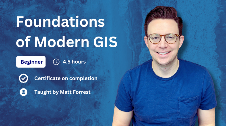
This course explores the evolution of GIS into modern, scalable, and cloud-native technologies. It covers the characteristics of modern GIS, such as its open and interoperable nature, integration with broader data environments, and its diverse real-world applications in fields like climate analysis, finance, agriculture, and disaster response. The course highlights how modern GIS is accessible to non-specialists and fosters collaboration, breaking down traditional data silos to drive effective data-driven decision-making across disciplines.
What You Will Learn
- The evolution of GIS from traditional to modern, cloud-native systems
- Characteristics of modern GIS, including openness, interoperability, and scalability
- How modern GIS integrates with broader data environments to break down data silos
- Practical applications of GIS in fields such as climate analysis, finance, agriculture, and disaster response
- How modern GIS fosters accessibility and collaboration across different disciplines
- The role of cloud-native design in improving data processing, sharing, and scalability
Curriculum
- 3 Sections
- 15 Lessons
- Lifetime
- Introduction to modern GIS8
- 0.0Video: Introduction to modern GIS30 Minutes
- 0.1Defining modern GIS15 Minutes
- 0.2Characteristics and benefits of modern GIS15 Minutes
- 0.3Integrations and eliminating data silos15 Minutes
- 0.4Applications of modern GIS in the real world15 Minutes
- 0.5Foundations of Modern GIS: Quiz 110 Minutes13 Questions
- 0.6Foundations of Modern GIS: Essay 13 Days
- 0.7Foundations of Modern GIS: Essay 23 Days
- Scaling modern GIS from your computer to the cloud8
- 0.0Video: Scaling from your computer up to cloud-native GIS30 Minutes
- 0.1Scalability in modern GIS15 Minutes
- 0.2Characteristics and benefits of modern GIS15 Minutes
- 0.3Integration with the modern data ecosystem15 Minutes
- 0.4Modern GIS in real world settings15 Minutes
- 0.5Foundations of Modern GIS: Quiz 213 Questions
- 0.6Foundations of Modern GIS: Essay 33 Days
- 0.7Foundations of Modern GIS: Essay 43 Days
- Using modern GIS for today's challenges8
- 3.1Video: Using modern GIS for today’s global challenges30 Minutes
- 3.2The evolution of GIS: From static maps to dynamic insights15 Minutes
- 3.3The role of real-time data and AI in modern GIS15 Minutes
- 3.4Modern applications of GIS in various domains15 Minutes
- 3.5Accessibility and integration across technologies15 Minutes
- 3.6Foundations of Modern GIS: Quiz 312 Questions
- 3.7Foundations of Modern GIS: Essay 53 Days
- 3.8Foundations of Modern GIS: Essay 63 Days
Matt Forrest is a seasoned geospatial professional with over a decade of experience in geospatial technology and data analysis. He currently serves as the Director of Customer Engineering & Product Led Growth at Wherobots, where he focuses on enabling organizations to leverage modern Geographic Information Systems (GIS) and spatial SQL to enhance their operations and advance their capabilities.
Throughout his career, Matt has been dedicated to promoting the use of open, interoperable, and standards-based geospatial technologies. He shares his expertise through his LinkedIn, YouTube, and his website, where he offers tutorials, resources, and insights into modern GIS practices.
Matt is also the author of "Spatial SQL" a comprehensive guide designed to help readers progress from SQL novices to spatial SQL experts.
His commitment to advancing geospatial knowledge is further demonstrated through his active presence on LinkedIn and YouTube, where he shares weekly tips, tutorials, and insights on modern GIS and geospatial analysis.
With a passion for all things geospatial, Matt Forrest continues to be a leading voice in the field, helping individuals and organizations harness the power of modern GIS technologies.

