
Unlock the future of modern GIS
How did you learn all of this geospatial stuff?
That’s a question I get all the time.
If you’re just getting started—or even if you’ve been working in GIS for years—you’ve probably faced this too. There’s no clear roadmap.
You end up bouncing between outdated textbooks, random YouTube tutorials, and university courses that barely touch on modern geospatial workflows.
I know because I went through the same thing.
And even once you do build up the skills, how do you prove it? No certification. No structured way to show employers you actually know the tools they care about.
Sound familiar?
That’s exactly why I built Modern GIS—a place to learn, practice, and get certified in the geospatial tools defining today’s industry.
Let’s be real: traditional GIS isn’t enough anymore.
Employers are looking for professionals who can:
✅ Work with big data and cloud-native geospatial tools
✅ Use Python & SQL to automate spatial analysis
✅ Build scalable workflows beyond desktop GIS
✅ Think like a data engineer, not just a mapmaker
ModernGIS teaches you the skills that actually matter—so you can stand out, grow your career, and stay ahead of the industry shift.
-
 This beginner-focused course introduces the foundational tools and techniques of modern GIS, providing learners with a comprehensive understanding of key technologies such as QGIS, spatial SQL, Python, command line tools,...
-
50 Lessons
$299.00 -
The essential skills you need to kick start Modern GIS
Start your journey into modern GIS with a hands-on, beginner-friendly course designed to teach you the essential tools and techniques shaping today’s geospatial workflows.
Whether you’re completely new to GIS or looking to transition from traditional tools, this course provides a structured, practical approach to working with modern GIS technologies like QGIS, spatial SQL, Python, command line tools, web GIS, and cloud-based workflows.
GIS is evolving beyond desktop software. Employers are looking for professionals who can work with scalable, cloud-native tools and automate geospatial workflows—and that’s exactly what you’ll learn in this course.
-
 This course explores the evolution of GIS into modern, scalable, and cloud-native technologies. It covers the characteristics of modern GIS, such as its open and interoperable nature, integration with broader...
-
15 Lessons
$49.00 -
From traditional GIS to scalable, cloud-native solutions
The GIS industry is undergoing a major transformation—moving beyond desktop tools and isolated datasets into modern, cloud-native, and scalable technologies.
This course explores the evolution of GIS and how today’s tools are more open, interoperable, and integrated than ever before. You’ll learn how modern GIS enables collaboration across disciplines, seamlessly integrates with broader data environments, and supports high-impact applications in climate analysis, finance, agriculture, disaster response, and beyond.
Whether you’re a GIS professional looking to stay ahead or someone new to geospatial thinking, this course will help you understand how modern GIS is shaping the future of data-driven decision-making.
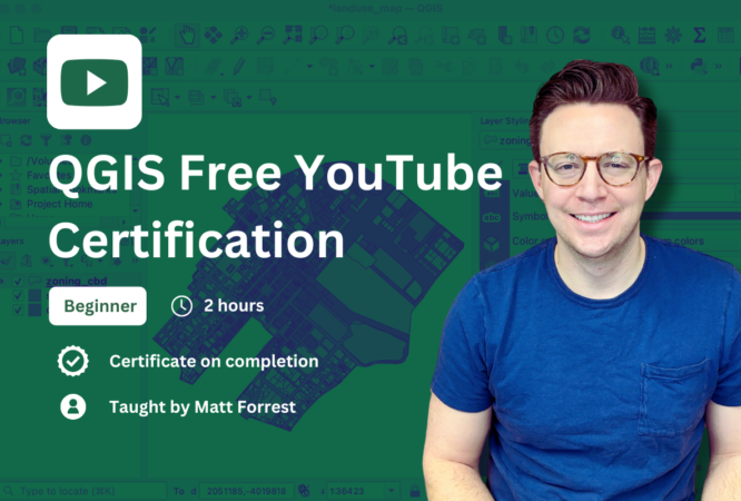
Learn QGIS and build your geospatial skills
Want to get started with GIS? This free certification course is designed for absolute beginners who want to learn QGIS, one of the most powerful open-source GIS platforms.
Whether you’re completely new to spatial data or looking to expand your GIS skills, this course provides a clear, step-by-step introduction to QGIS, making geospatial analysis accessible to everyone.
By the end of this course, you’ll have the confidence and skills to start working with geospatial data and creating your own maps and analyses in QGIS.
-
 Unlock the power of geospatial analysis with QGIS, a leading open-source GIS software. This free certification course is designed for absolute beginners and anyone looking to build a solid foundation...
-
3 Lessons
Free -
-
 Take your geospatial Python skills to the next level with this comprehensive course on Geopandas, one of the most foundational libraries for working with geospatial data in Python. Whether you’re...
-
3 Lessons
Free -
Elevate your GIS and data analysis skills with Python
Want to take your geospatial Python skills to the next level? This comprehensive course teaches you Geopandas, the foundational Python library for working with spatial data.
Whether you're a beginner or already familiar with Python and GIS, this step-by-step course will help you master Geopandas through hands-on exercises and real-world projects—so you can analyze spatial data faster, more efficiently, and at scale.