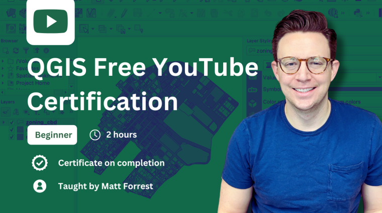
Unlock the power of geospatial analysis with QGIS, a leading open-source GIS software. This free certification course is designed for absolute beginners and anyone looking to build a solid foundation in GIS. Whether you’re completely new to spatial data or want to pick up new skills, this course provides a clear, step-by-step introduction to QGIS, making GIS accessible to everyone.
What You Will Learn:
- Introduction to QGIS
Learn about QGIS as a free and open-source GIS software and how to get started. - Installing QGIS
A step-by-step guide to downloading and setting up QGIS on your computer. - Basic GIS Concepts
Explore the fundamentals of spatial data, layers, and projections. - Working with Spatial Data
Learn how to import, visualize, and manipulate vector and raster data in QGIS. - Performing Spatial Analysis
Discover tools for performing simple spatial analysis and creating maps. - Hands-on Practice
Step-by-step exercises to help you build confidence with the software.
Certification:
Upon completion, you will receive a free QGIS certification to showcase your new skills and proficiency.
This course is perfect for students, professionals, or hobbyists eager to start their journey in modern geospatial technology.
Curriculum
- 1 Section
- 3 Lessons
- Lifetime
Matt Forrest is a seasoned geospatial professional with over a decade of experience in geospatial technology and data analysis. He currently serves as the Director of Customer Engineering & Product Led Growth at Wherobots, where he focuses on enabling organizations to leverage modern Geographic Information Systems (GIS) and spatial SQL to enhance their operations and advance their capabilities.
Throughout his career, Matt has been dedicated to promoting the use of open, interoperable, and standards-based geospatial technologies. He shares his expertise through his LinkedIn, YouTube, and his website, where he offers tutorials, resources, and insights into modern GIS practices.
Matt is also the author of "Spatial SQL" a comprehensive guide designed to help readers progress from SQL novices to spatial SQL experts.
His commitment to advancing geospatial knowledge is further demonstrated through his active presence on LinkedIn and YouTube, where he shares weekly tips, tutorials, and insights on modern GIS and geospatial analysis.
With a passion for all things geospatial, Matt Forrest continues to be a leading voice in the field, helping individuals and organizations harness the power of modern GIS technologies.

Courses you might be interested in
-
49 Lessons
-
3 Lessons


